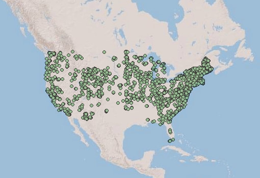
Central Question: How can modern technology be used for biogeographic studies? Guiding Thought Question: How can modern internet maps be more useful than paper maps when trying to collect, analyze, visualize, and share geographic information? Today's Learning Objective: Students will learn about the applications and methods of internet mapping software by working through a mapping activity of behaviors of the greater bamboo lemur in Madagascar. |
15 Comments
emma
12/8/2021 09:01:32 am
can be updated regularly
Reply
Sienna
12/13/2021 08:56:07 am
You can easily design it, can be updated easily, dont have to re make it when you find out new information, easier to label, etc.
Reply
Ethan
12/13/2021 08:56:57 am
internet maps can have multiple variants (a map from 2016 can be compared by a map from 2002)
Reply
Emily
12/13/2021 08:59:04 am
Easy to make changes, more convenient, and can easily be shared and viewed by multiple people without needing to make multiple copies or pass around one copy.
Reply
Bea
12/13/2021 09:00:38 am
Updated frequently, costs less for the consumer
Reply
Bob
12/13/2021 09:02:26 am
They are more accurate and everyone can see it at once
Reply
Peter
12/13/2021 09:20:45 am
They can store so much more information
Reply
Riley
12/14/2021 12:20:33 pm
you can get a lot more detailed with a internet map.
Reply
emma
12/14/2021 12:20:51 pm
they can be more up to date and be more accurate, designing it can be quite easy as well
Reply
isabella
12/14/2021 12:21:08 pm
they can be changed as people get more information and are generally more accessible for wide ranges of people
Reply
Evers
12/14/2021 12:21:48 pm
You can update them more often and quickly. It can be easier to share also.
Reply
12/14/2021 12:22:02 pm
you can see how things progress over time, you can add and get rid of things when the landscapes change
Reply
Maria
12/14/2021 12:27:55 pm
With modern online mapping, we have the ability to examine more closely through decreasing your scale, make alterations more efficiently, share the information more easily.
Reply
Daniel Montes
12/14/2021 12:29:11 pm
The option to zoom in and add way more information by having clickable markings or have things move if your tracking something like flight paths
Reply
Cariena Murray
12/14/2021 12:31:22 pm
More info updated regularly
Reply
Leave a Reply. |
Biogeography ForumWelcome to the Forum! Here is where you will be answering your daily warm-up questions. Please do not enter your last name for privacy reasons, and you may use a nickname if you would like (Just make sure Mr. Tredinnick is aware of the nickname you are using). Write out thoughtful responses to the forums on the days they are assigned. If you miss a day please take it upon yourself to complete the Forum you missed. Each Forum has the targeted Learning Objective(s) there so you can see what the focus of the day's class will be. Archives
September 2019
Categories |